Webinars

Shared expertise

CyberTraining webinars

Hear from researchers and practitioners working across cyberinfrastructure, geospatial science, GeoAI, and disaster management.

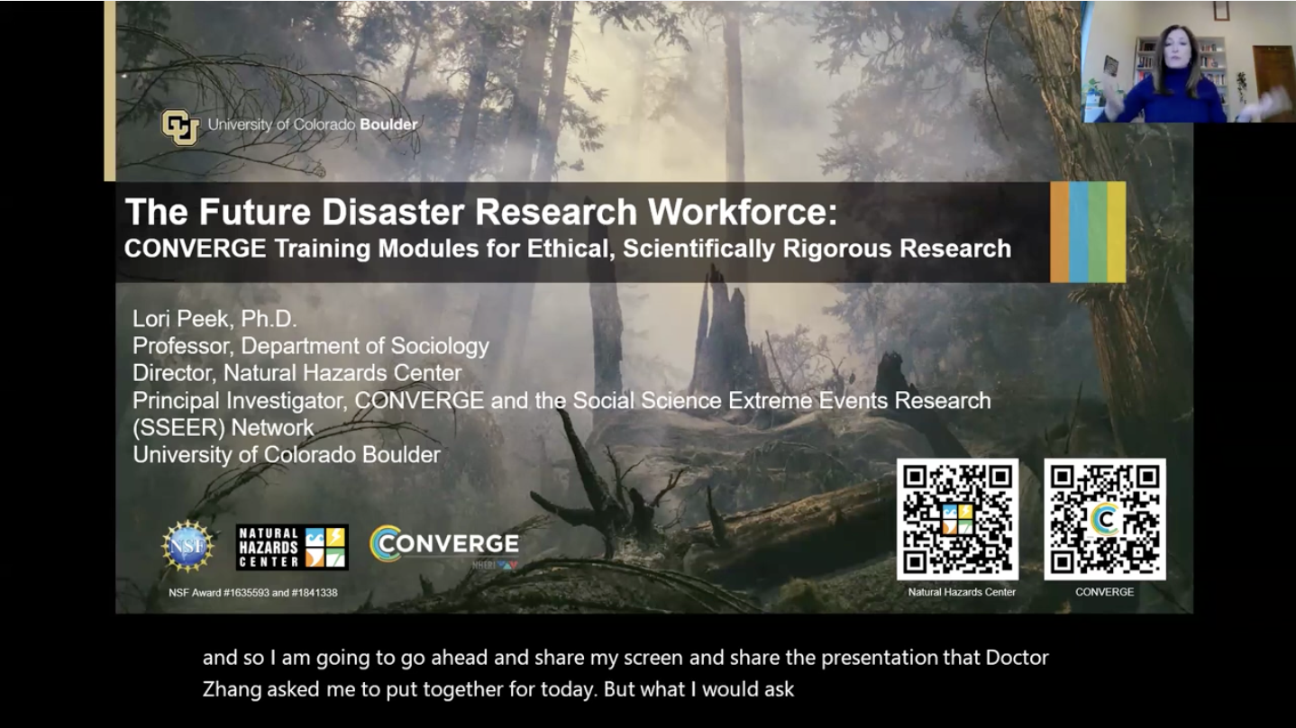
The Future Disaster Research Workforce: CONVERGE Training Modules for Ethical, Scientifically Rigorous Research webinar cover

The Future Disaster Research Workforce: CONVERGE Training Modules for Ethical, Scientifically Rigorous Research

2024-02-02

Dr. Lori Peek

The National Science Foundation-funded CONVERGE facility is dedicated to advancing social science, engineering, and interdisciplinary hazards and disaster research. As core to that mission, the CONVERGE team develops trainings and other initiatives to support ethical, rigorous, convergence research that seeks to solve pressing social and environmental challenges. This presentation will provide an overview of the CONVERGE Training Modules—why they were developed, who accesses them, and how they have been evaluated. Participants are encouraged to visit the CONVERGE Training Modules in advance of the presentation: https://converge.colorado.edu/resources/training-modules/

Watch webinar
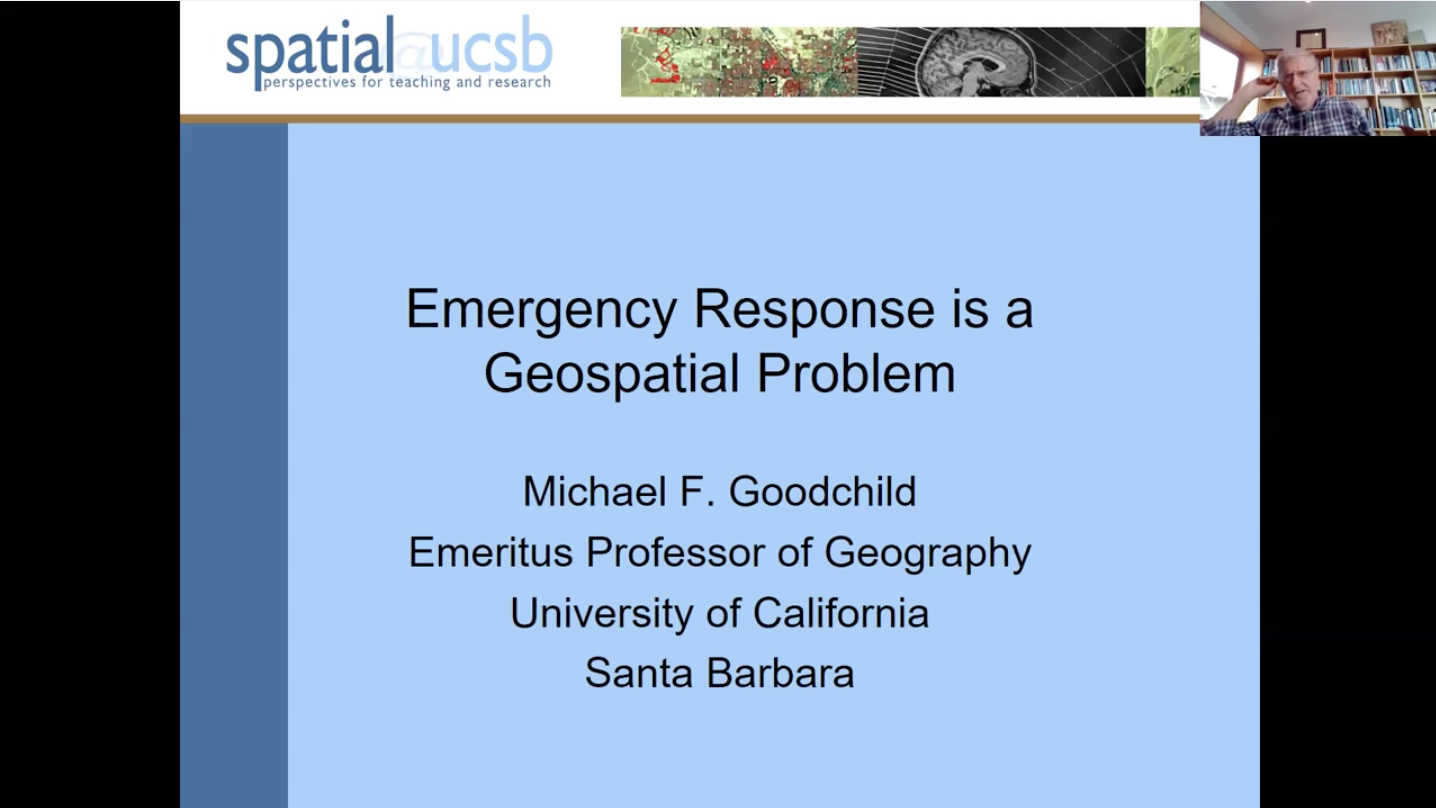
Emergency Response is a Geospatial Problem webinar cover

Emergency Response is a Geospatial Problem

2024-03-20

Dr. Michael Goodchild

Emergency response is often discussed in terms of four stages, from preparedness to mitigation. At each stage the geospatial dimensions are critical and raise issues of geospatial data sharing, GIS, uncertainty, and privacy. Today many of these issues can be addressed through high-performance computing and AI. The webinar discusses issues of governance, response times, access to proprietary data, wearable technology, and resilient communications. Some of the images in the presentation are not in copyright.

Watch webinar
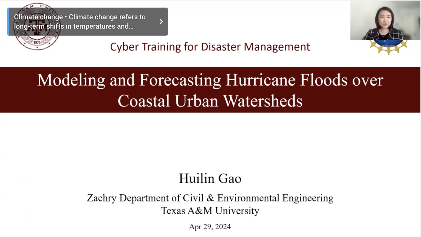
Modeling and Forecasting Hurricane Floods over Coastal Urban Watersheds webinar cover

Modeling and Forecasting Hurricane Floods over Coastal Urban Watersheds

2024-04-29

Dr. Huilin Gao

To best mitigate the damage from hurricane-induced extreme floods, it is essential to better understand the performances of existing flood risk management measures, as well as future climate change impacts on the floods from an event-based analysis perspective. This webinar introduces three modeling-based studies over Houston watersheds during the flooding caused by Hurricane Harvey (2017). The first study investigates how a set of factors influenced the inflows, peak pool elevations, and outflows of Houston's two most important detention reservoirs, the Addicks, and Barker Reservoirs. The second study tests the skills of streamflow and floodplain inundation forecasts derived from Quantitative Precipitation Forecasts (QPF) of different durations. The last study investigates the future impacts of climate change on hurricane rainfall and, more importantly, subsequent compound flooding at a coastal watershed. The results from these studies can contribute to an improved understanding of intense hurricane-induced extreme flooding. The results can also serve as a basis for the countermeasures needed to prepare for such events in the future.

Watch webinar
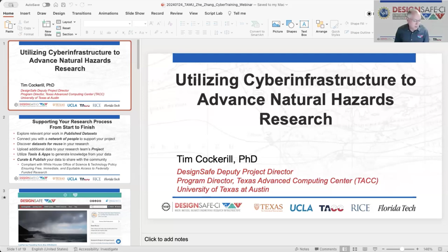
Utilizing Cyberinfrastructure to Advance Natural Hazards Research webinar cover

Utilizing Cyberinfrastructure to Advance Natural Hazards Research

2024-01-24

Dr. Tim Cockerill

This webinar provids an overview of the capabilities provided by DesignSafe (www.designsafe-ci.org), the cyberinfrastructure provider for the Natural Hazards Engineering Research Infrastructure (NHERI) program supported by NSF award 2022469. NHERI is a distributed national facility that enables research discoveries that will protect human life, reduce damage, and minimize economic losses during natural hazard events. DesignSafe is a web-based platform for the big data generated by natural hazards engineering research, supporting high-performance computing, research workflows, data curation and publication, and data analysis and visualization.

Watch webinar
Harnessing the Geospatial Data Revolution to Empower Smart Transport and Enhance Road Safety webinar cover

Harnessing the Geospatial Data Revolution to Empower Smart Transport and Enhance Road Safety

2024-10-04

Dr. Xiao Li

With the advancement of new and scalable data sources, robust acquisition methodologies, and transmission techniques, unprecedented amounts of traffic information are being generated and collected from various data sources, such as wearable biosensors, remote video, street-view imagery, GPS-enabled smartphones, (geo)social media, and connected & autonomous vehicles (CAVs). Compared to conventional traffic data, these emerging geospatial data sources provide researchers with rich and timely information to depict the road environment details, monitor traffic flow dynamics, capture/predict traffic conflicts, detect driving behavioral changes, and assess travel risk perceptions, among others. In this presentation, Dr Xiao Li will showcase some research projects, highlighting the applications of emerging geospatial data in road asset management and road safety assessment. Additionally, possibilities for future engagement and research will also be discussed. Bio: Dr Xiao Li is a Senior Researcher at the Transport Studies Unit of the University of Oxford. He is also a ‘Bryan Warren’ Junior Research Fellow at Linacre College Oxford. His research lies at the intersection of Geographic Information Science (GIS), Spatial Data Science, and Transport Geography. Dr Li received his PhD in Geography (GIS Transport) from Texas A&M University in 2019. Before joining TSU, he worked as an Associate Transport Researcher at Texas A&M Transportation Institute. Dr Li has led and participated in multiple projects sponsored by USDOT, FHWA, TxDOT, and US National University Transportation Centres (UTC). Currently, Dr Li serves on the Transportation Research Board (TRB) Standing Committee on Geographic Information Science in the US. He is also a management committee member of the Transport Statistics User Group and RGS-IBG GIScience Research Group in the UK.

Watch webinar
CyberTraining: SpaceTimeAI for Humanitarian Aid, Disaster Relief, and Infrastructure Resilience webinar cover

CyberTraining: SpaceTimeAI for Humanitarian Aid, Disaster Relief, and Infrastructure Resilience

2024-10-21

Dr. Tao Cheng

Tao Cheng (HDR, PhD, FRGS, FICE, CEng) is a Professor of Geoinformatics in the Department of Civil, Environmental, and Geomatics Engineering at University College London (UCL). She serves as the Theme Lead for Mobility at the Alan Turing Institute and is a member of the College of Experts (CoE) for the Department for Transport, UK. She is also the Founder and Director of UCL SpaceTimeLab (www.ucl.ac.uk/spacetimelab), a world-leading research center that leverages SpaceTimeAI to gain actionable insights and foresights from spatio-temporal data for government, business, and society. Her research interests span AI and Big Data, network complexity, and urban analytics with applications in transport and mobility, safety and security, business intelligence, and natural hazards prevention. She has secured more than £25M in research grants in the UK and EU, collaborating with government and industrial partners in the UK, including Transport for London, the London Metropolitan Police Service, Public Health England, and Arup, among others. She has published over 300 research articles and received numerous international best paper awards. Please refer to profiles.ucl.ac.uk/10774 for further details. Presentation Description: In this webinar, Professor Cheng will showcase the recent advancements in leveraging machine learning, artificial intelligence (AI), and digital twin technologies to analyze environmental and human mobility data. These technologies have been pivotal in assessing vulnerability to natural hazards, such as landslides and flooding, and enhancing infrastructure resilience. The discussion will cover how SpaceTimeAI is applied to humanitarian aid and disaster relief efforts, offering innovative solutions for predicting and mitigating the impacts of disasters on vulnerable populations and critical infrastructure systems.

Watch webinar
Improving highway safety by reducing landslides hazard with smart alert and warning system webinar cover

Improving highway safety by reducing landslides hazard with smart alert and warning system

2025-03-19

Dr. Zhuping Sheng

Landslides is one of major geohazards that pose great threat to highway safety, human lives and community economy. Therefore, it is of critical importance to better assessing risks of slope failure and timely planning geotechnical asset management strategies in preventing landslides and minimizing impacts of landslides. Dr. Sheng will provide an overview on landslides risk assessment and a framework for development of smart alert and warning system, aiming at improving highway safety by reducing landslides risks and enhancing asset management. This framework is built on the Geographic Information System (GIS) platform for processing data, integrating physical models with machine learning algorithms, assessing risks of slope failure and delivering early warning and alert for geotechnical asset management.

Watch webinar